
A popular primitive campsite just off Route 311 in the Catawba Valley at the gateway to the...
Environment and Outdoors
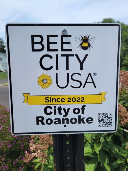
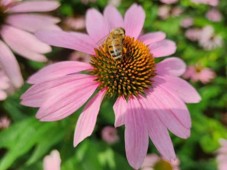
Bees and people alike have a new attraction in Northwest Roanoke, thanks to the efforts of the...
State game officials are seeking public review before approving a new bear management plan for Virginia’s black...
Virginia Western Community College is now an affiliate Bee Campus. The Xerce Society of Invertebrate Conservation’s Bee...

The Roanoke River Greenway’s “missing link” is missing no longer. Roanoke City and Greenway Commission officials cut...
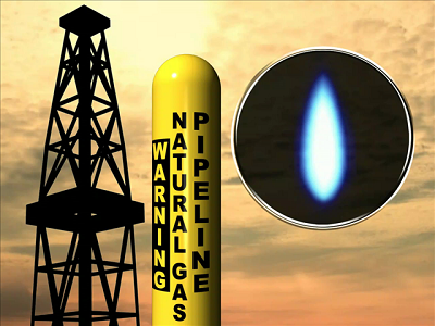
WASHINGTON (AP) — The Supreme Court on Thursday allowed construction to resume on a contested natural-gas pipeline that is...
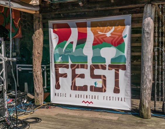
There’s no Floyd Fest this year, but a local recreation destination is putting together a festival with...
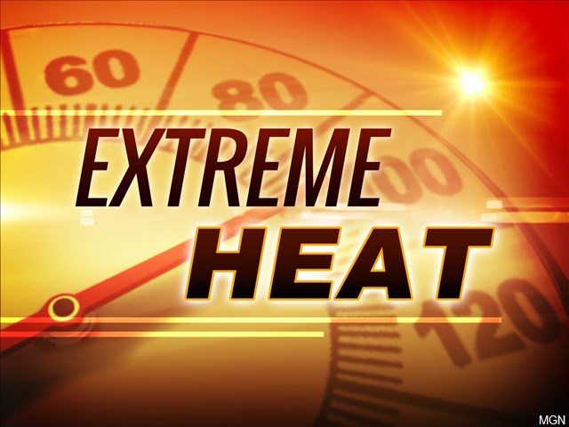
With record heat waves in the desert southwest, parts of the southeast – and around the globe...
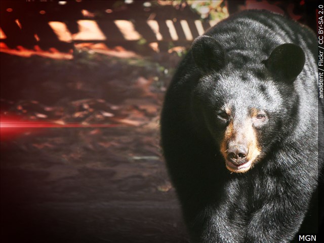
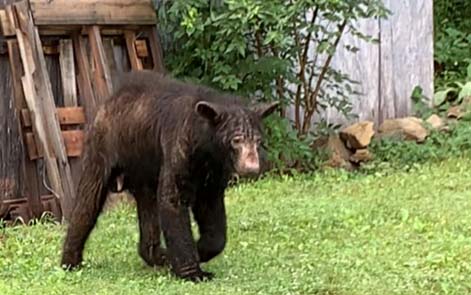
After a recent bear scare in Downtown Roanoke, one expert gets to the bottom of what caused...
A foundation that aims to support Roanoke’s Parks Department recently celebrated the completion of its first major...
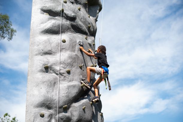
The Roanoke Parks Foundation has stepped in to help provide something new for Roanoke’s Parks and Recreation...
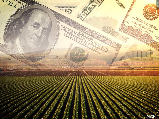
Virginia’s Department of Conservation and Recreation announces changes to its annual cost share program. WFIR’s Emma Thomas...
Maybe you’re one of the curious runners or bikers who have ventured past the traffic cones and...
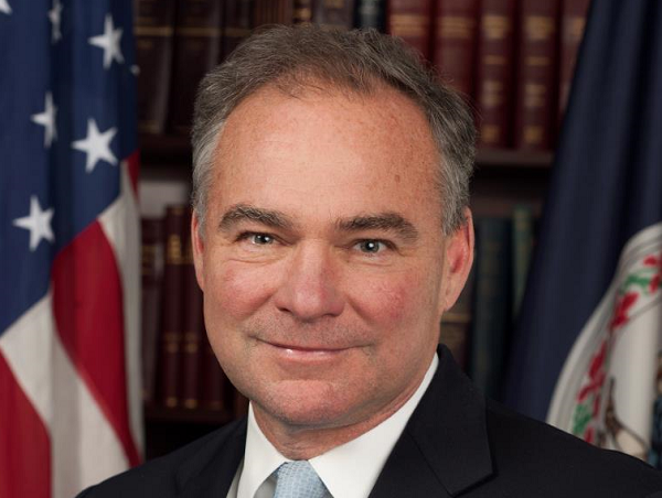
One of the Commonwealth’s U.S. Senators says putting the MVP on the fast track to completion in...
This coming Friday and Saturday Clean Valley Council is holding their 3rd Annual Green Film Festival in...