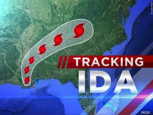
 A flash flood watch is in effect as the remnants of Hurricane Ida are heading our way, and periods of heavy rain seem all but certain. Minor flooding appears possible, but major disruptions appear unlikely. Longtime Roanoke Valley residents have no trouble recalling the catastrophic flooding Hurricane Juan created in 1985, but WDBJ-7 Meteorologist Leo Hirsbrunner says what’s left of Ida is likely to pass through relatively quickly, so even torrential downpours are unlikely to lead to widespread problems. WFIR’s Evan Jones has more:
FROM THE NATIONAL WEATHER SERVICE:
The Flash Flood Watch continues through Wednesday evening for portions of North Carolina, Virginia and southeast West Virginia, including the following areas, in North Carolina, Alleghany NC, Ashe, Stokes, Surry, Watauga, Wilkes and Yadkin. In Virginia, Alleghany VA, Amherst, Bath, Bedford, Bland, Botetourt, Carroll, Craig, Floyd, Franklin, Giles, Grayson, Montgomery, Patrick, Pulaski, Roanoke, Rockbridge, Smyth, Tazewell and Wythe. In southeast West Virginia, Eastern Greenbrier, Mercer, Monroe, Summers and Western Greenbrier.
Widespread heavy rain is expected first with the spiral bands of showers and scattered thunderstorms this afternoon and evening, then transition to a steadier moderate to occasionally heavy rainfall tonight into Wednesday. Rainfall amounts of 1 to 3 inches will be common, with locally heavier amounts of 2 to 5 inches possible where any rain bands set up and persist over a particular area. Localized thunderstorms could also result in high rainfall rates.
Minor flooding is expected which will impact low-lying, poor drainage, and typically flood prone areas. Small creeks and streams will likely rise out of their banks and flood adjacent areas. Landslides and mudslides will also be possible in areas of steeper terrain closer to the Blue Ridge. Some roads and highways could become impassable as a result of mudslides and/or stream and creek flooding.


