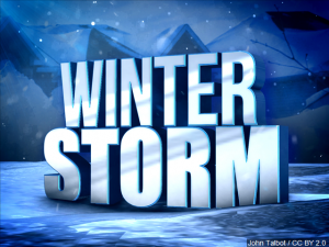
Will this weekend’s expected weather event be more snow than ice, more sleet or freezing rain? VDOT is preparing for all those scenarios and says crews have already started laying down a brine mixture on roads to help keep them free of ice when the temperatures drop this weekend and into Monday. Forecasts say the Roanoke area could see 5 to 9 inches of snow and sleet and freezing rain starting tomorrow afternoon. Subject to change of course. WFIR’s Gene Marrano reports:
The NWS forecast as of 9am Friday for the Roanoke area:
Saturday
A chance of snow after 1pm. Increasing clouds, with a high near 26. East wind 5 to 8 mph. Chance of precipitation is 40%.
Saturday Night
Snow before 1am, then snow, freezing rain, and sleet. The snow and sleet could be heavy at times. Low around 15. East wind 5 to 8 mph. Chance of precipitation is 100%. Little or no ice accumulation expected. New snow and sleet accumulation of 3 to 7 inches possible.
Sunday
Freezing rain and sleet, possibly mixed with snow before 1pm, then freezing rain and sleet. The sleet could be heavy at times. High near 27. East wind 3 to 5 mph. Chance of precipitation is 100%. New ice accumulation of 0.1 to 0.3 of an inch possible. New snow and sleet accumulation of 1 to 3 inches possible.
Sunday Night
Snow, freezing rain, and sleet before 1am, then a slight chance of snow and freezing rain between 1am and 4am, then a slight chance of snow after 4am. Low around 18. Chance of precipitation is 80%. New ice accumulation of less than a 0.1 of an inch possible. New snow and sleet accumulation of less than one inch possible.