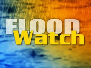
The National Weather Service has issued a flood watch for the region, with the rainy remnants of Hurricane Zeta expected to pass over us tomorrow. The watch takes effect at midnight and runs through Thursday afternoon. It means forecast conditions may lead to flooding during that time.
From the National Weather Service:
FLOOD WATCH IN EFFECT FROM MIDNIGHT EDT TONIGHT THROUGH THURSDAYAFTERNOON… The National Weather Service in Blacksburg has expanded the
* Flood Watch to include portions of Virginia and southeast West Virginia, including the following areas, in Virginia, Alleghany VA, Amherst, Appomattox, Bath, Bedford, Bland, Botetourt, Buckingham, Campbell, Craig, Franklin, Giles, Montgomery, Pulaski, Roanoke, Rockbridge, Smyth, Tazewell and Wythe. In southeast West Virginia, Eastern Greenbrier, Mercer, Monroe, Summers and Western Greenbrier.
* From Midnight EDT tonight through Thursday afternoon.
* The remnants of Hurricane Zeta are expected to bring heavy rain to parts of the southern Appalachians tonight and Thursday. PRECAUTIONARY/PREPAREDNESS ACTIONS… A Flood Watch means there is a potential for flooding based on current forecasts. You should monitor later forecasts and be alert for possible flood warnings. Those living in areas prone to flooding should be prepared to take action should flooding develop.