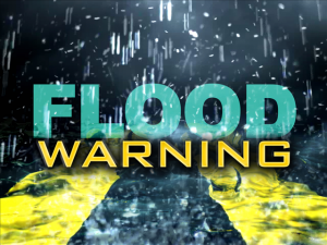
 UPDATE from the National Weather Service: Flood Warning for Roanoke County, the City of Salem, the City of Roanoke, west central Bedford County, southern Botetourt County and northwestern Franklin County until 1130 PM EDT. At 825 PM EDT, Roanoke County emergency management reported flooding in the Cave Spring area. Flooding was also reported in the Boones Mill area from a mudslide. Excessive rainfall from earlier have since ended. However, additional lighter-intensity rains will progress northeast into the warned area. This may trigger new areas of flooding. Some locations that will experience flooding include Roanoke, Salem, Vinton, Boones Mill and Stewartsville. This includes The following Locations The Salem Fairgrounds and Roanoke Regional Airport.
PREVIOUS: From the National Weather Service: Flash Flood Warning for Roanoke County in west, the City of Salem, the City of Roanoke, west central Bedford County, southern Botetourt County and northwestern Franklin County until 830 PM EDT.
At 531 PM EDT, Doppler radar indicated slow-moving and redeveloping thunderstorms in central and eastern Roanoke County. As much as one and a half inches has fallen according to Doppler radar estimates in western Roanoke County. Flash flooding is expected to begin shortly as storms produce torrential rain. Some locations that will experience flooding include Roanoke, Salem, Vinton, Stewartsville and Bent Mountain. Additional rainfall amounts of up to 2 inches are possible in the warned area. This includes The following Locations The Salem Fairgrounds and Roanoke Regional Airport. PRECAUTIONARY/PREPAREDNESS ACTIONS: Excessive runoff from heavy rainfall will cause flooding of small creeks and streams, urban areas, highways, streets and underpasses as well as other drainage areas and low lying spots.